
MDIT IN KANAWHA STATE FOREST
ABOUT THIS TRAIL
-
Did Mary Ingles walk this trail?
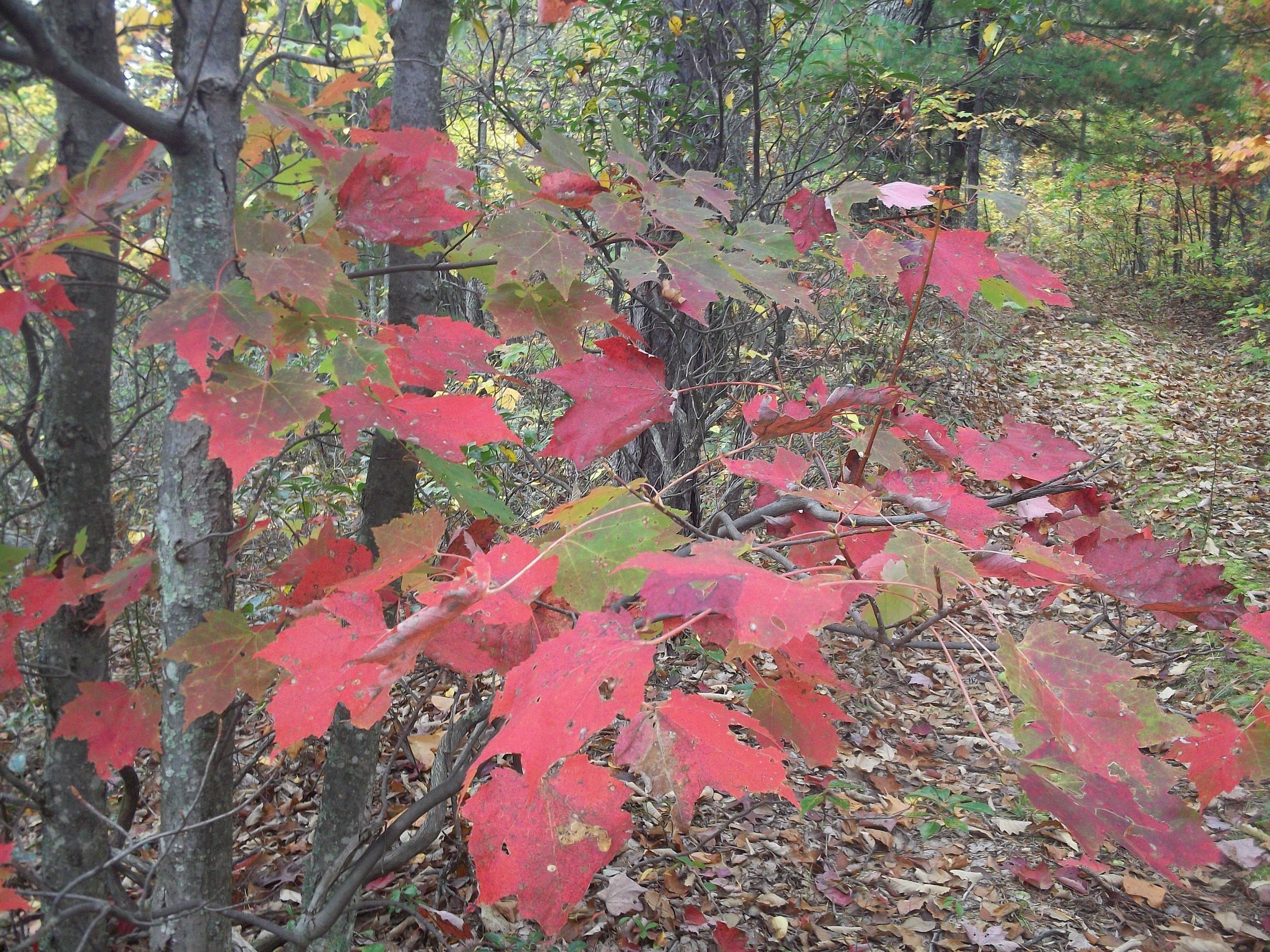
We realize it is highly unlikely that Mary Ingles came anywhere near Kanawha State Forest (KSF), but the Forest presents an opportunity to have the Mary Draper Ingles Trail (MDIT) passing through an area representative of the types of terrain, flora, and fauna she would have encountered during parts of her journey home.
-
Currently there is a 14.5-mile section of the Trail in Kanawha State Forest.
One end of this section is on McGhee Road off of Trace Fork Road.
The other end is on Middlelick Road near the firing range.
-
The Trail through the Forest includes:
trails,
unpaved roads, and
a short section of paved road.
Where the MDIT coincides with an existing trail, it is not blazed. However, there are small signs at the trailheads of the existing trail to indicate it is a part of the MDIT.
Where the Trail follows roads or where it has its very own, unshared corridor it is marked by 2"x 2" yellow blazes. There are no road signs, so when approaching a junction watch closely for the blazes.
HOW TO FIND THE TRAILHEADS
-
Exit I-64 at Oakwood Road Exit and turn right onto WV 214 (Corridor G).
Go south on WV 214 for 5.8 miles to Ruth Road Exit.
Turn Left on Ruth Road for 0.3 miles.
Then turn right onto Trace Fork Road (CO 11).
Go 0.5 miles to forks in road.
Turn Left onto Trace Fork Road (CO 11/2).
Go 1.3 miles to McGhee Road (CO 11/7).
Turn left.
Go 0.1 miles to trailhead parking on right.
There is an informational kiosk across the stream from the parking area.
-
Exit I-64 at Oakwood Road Exit. Tturn Right on WV 214.
At traffic light at top of hill turn Left onto Oakwood Road.
Follow signs to entrance to Kanawha State Forest.
At KSF entrance, turn Left on Middlelick Road and drive to firing range parking lot.
The trailhead is on the Right of the road just before reaching the parking lot.
-
There are also access points in Kanawha State Forest
Along the Davis Creek Road at the Swimming Pool parking lot
At the upper trailhead of the Davis Creek Trail
At the picnic area between Polly and Dunlop Hollows.
For more information contact the Forest Office at 304-558-3500.
Trail maps are available from the office.
Trail Directions
From the McGhee Road Trailhead follow the yellow blazed Trail 0.7 miles along an old road before turning left onto a woods trail after the sixth stream crossing. Gradually climb 0.7 miles up a small hollow to the top of the ridge.
Once on the ridge turn right onto an old power line access road. (At one time this old road was known as the District Line Trail.) Follow the old road along the ridge top for 1.1 miles and turn left on an unpaved road known as the New Boundary Road (unsigned).
After turning left on the New Boundary Road follow it for 2.2 miles and turn right on the Old Boundary Road (unsigned).
After a short distance on Old Boundary Road turn off to the left onto Hemlock Falls Trail (0.75 miles).
From this point follow the yellow triangle blazes of Hemlock Falls Trail to its lower trailhead on Polly Hollow Road, cross the road to Beech Glen Trail (1.5 miles) and follow its blue square blazes to its upper trailhead on Wildcat Ridge Trail.
At Wildcat Ridge Trail turn left and follow the blue circle blazes 1.0 mile to the trailhead on Davis Creek.
At this point the Trail turns left 0.2 miles, through a small picnic area (there are toilets here), across a footbridge and then downstream to the highway bridge at the mouth of Polly Hollow.
Turn left on the paved road and follow it 0.4 miles to a large rock and a bridge across Davis Creek on the right.
Cross the footbridge onto Davis Creek Trail and follow the yellow circles 0.6 miles downstream past the White Hollow Trail to the KSF swimming pool parking lot at the mouth of Shrewsbury Hollow.
Turn right through the parking lot, pick up the paved path to the left of the pool and follow it to the upper end of the group camping area.
At this point pick up the CCC Snipe Trail (0.75 miles), follow it to the Shrewsbury Hollow Road, cross the road and follow the Mossy Rock Trail (0.75 miles) to its upper trailhead on Middle Ridge Road.
Turn left on Middle Ridge Road and follow the roadway for 0.3 mile to the Ballard Trail trailhead one the right.
Turn right on Ballard Trail. Follow this trail 1.5 miles to its terminus on Middlelick Road near the firing range.
Turn right and follow the shooting range road for a few yards, then turn left off the road onto the Mary Ingles Trail, a.k.a. Wall Fork Trail. You will cross Hoffman Hollow Stream at its confluence with Middlelick Branch, then continue along Middlelick Branch to a crossing of Wall Fork, near its mouth.
Turn right up Wall Fork and continue for approximately 2 miles to the end of the trail at its junction with East Boundary Road.
MDIT In Kanawha State Forest
Trail Map
-

ON THE MAP OF THE KANAWHA STATE FOREST, THE LIGHT BLUE LINE IS THE EXISTING ROUTE OF THE MARY INGLES TRAIL.
MDIT Trail Improvements - Summer 2018
-

MDIT Bridge
There is a new bridge in KSF at the Osbra Eye Memorial Trailhead on Rockcamp Branch, thanks to the United Brotherhood of Carpenters (Local 439).
The older bridge was damaged severely by a large fallen tree and by subsequent flooding.
KSF Naturalist David Dendler checks out the new footbridge over Rockcamp Branch (Photo by Jennifer Bauman)
-

MDIT Kiosk
To make matters worse, vandals struck at the kiosk. Volunteers Genia, Carl, Jennifer, Dianne, & Doug re-painted the kiosk and replaced the map’s protective cover.
Doug Wood restores the vandalized MDIT trailhead kiosk
(Photo by D. Anestis)